A team of researchers from the National University of San Luis developed a low-cost, open-access drone that allows for intelligent reforestation. The project, dubbed ‘Sustainable Hawk Eye’, uses artificial intelligence techniques to allow the drone to fly over the area, detect vegetation-free areas, and efficiently drop seeds in areas that are hard to reach by traditional manual planting methods.
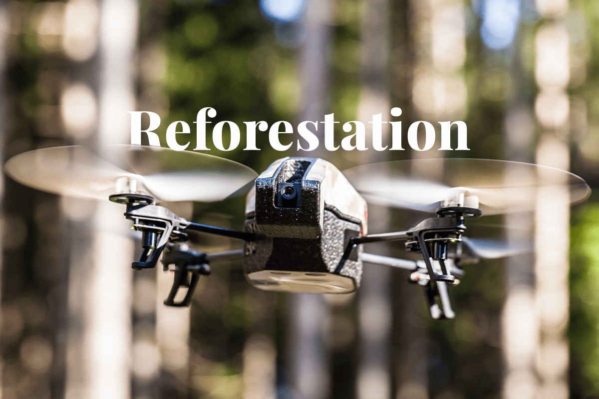
The LabTA-X04 drone has the capacity to detect vegetation-free areas and release seeds intelligently. The drone is battery-operated, measures three metres from wing to wing, has two electric motors, and a compartment that can carry a payload of up to 3 kilograms of seeds. On the front of the drone are cameras and software that can analyse the soil to identify areas without vegetation.
Afforestation versus reforestation: What’s the difference?
The drone uses open-source technology and materials commonly used for aeromodelling, such as balsa wood, plywood, plastic, and styrofoam. It uses Infragram open-source software to process images and another software developed by LabTA with OpenCV and Python to determine when to drop seeds based on an artificial intelligence algorithm.
The drone drops native species seeds produced by the Faculty of Agronomy at the National University of San Luis and processed using the Japanese Nendo Dango method. This technique involves making clay balls that contain seeds, a plant substrate, and water. The goal is to protect the seeds and prevent them from being eaten by birds, rodents, and other animals. With the first heavy rainfall, the clay balls dissolve, and the seeds sprout.
The Morro Basin is a vast area in San Luis that has been in alert mode since 2016, when the provincial government declared an environmental emergency in the region and began reforestation with native trees. The deforestation, caused by the expansion of the agricultural frontier over grasslands and native forests, created a water imbalance in the basin and led to increased rainfall. This resulted in the appearance of new streams that crossed fields and roads, causing flooding and affecting nearby cities such as Villa Mercedes.
The prototype is ready for field testing in the Morro Basin, pending authorisation. In 2022, the drone received an award in INNOVAR, a national innovation contest hosted by the Ministry of Science, Technology, and Innovation to promote creativity and the development of products and services at the federal level. DGB Group combines data from a dense network of on-the-ground sensors, aerial drones, and geostationary and orbital satellites, along with machine-learning models trained on historical data. By harnessing artificial intelligence, blockchain, big data and drone technology, we can validate, measure, and help deliver impactful ecological projects for ecosystem restoration.
Learn how we use technology for nature conservation projects